Why are four colors always enough to color any map?
A student's doodle in 1852 took 124 years and a computer to prove, and mathematicians argued over whether it counted.
▶ Start the storyNobody has a short, satisfying reason. We know four colors are always enough because a computer checked it: in 1976, Kenneth Appel and Wolfgang Haken proved that any map can be colored with at most four colors so that no two neighboring regions match, as long as "neighboring" means sharing a border, not just touching at a corner.
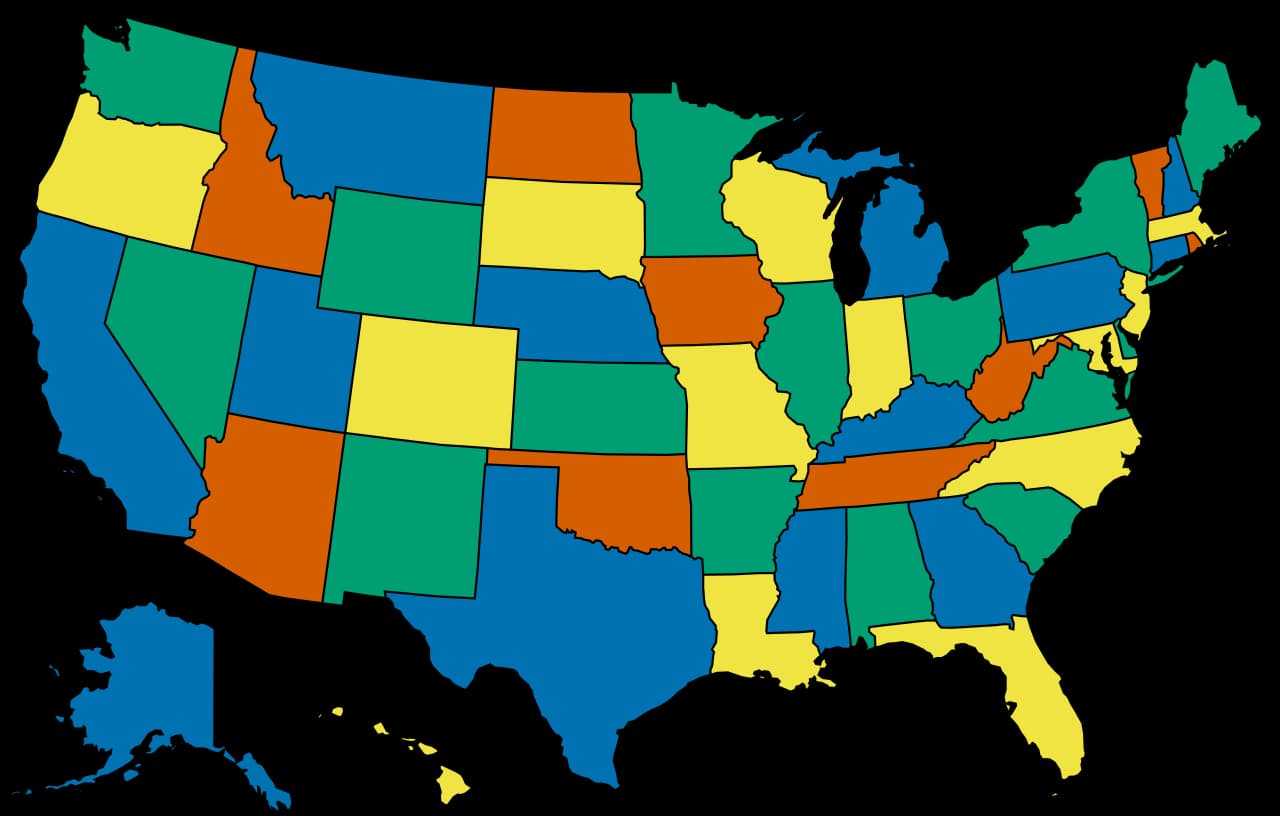
The puzzle began on October 23, 1852, when Francis Guthrie was coloring a map of England's counties and noticed four colors were all he needed. Proving it for every possible map turned out to be brutal. Alfred Kempe published a celebrated proof in 1879; it was 11 years before anyone spotted the flaw.
Appel and Haken's strategy was to show that a smallest map needing five colors can't exist. They boiled the infinity of possible maps down to 1,834 configurations and had a computer check each one, which took over a thousand hours. It was the first major theorem proved by computer, and some mathematicians refused to accept a proof no human could check by hand.
Funny twist: mapmakers don't care. Maps that use only four colors are rare, and most need just three.
Quiz me
0/3
Recap
Four colors always suffice for connected regions, but it took a computer to prove it.
Surprising fact · A celebrated false proof by Alfred Kempe stood unchallenged for 11 years.
Connects to
Sources (1)
No source, no claim. Every fact in this lesson (16 claims) cites at least one of these.